Ordering control points data
- Geodetic data of survey (SR geodetic control) point are provided via the Products and Services Portal (see below) or
- On the basis of request sent to: gkuzc(at)skgeodesy.sk. The request must contain the contact and invoice data of the applicant and the marking of the geodetic control point.
Ordering control points data via the Products and Services Portal
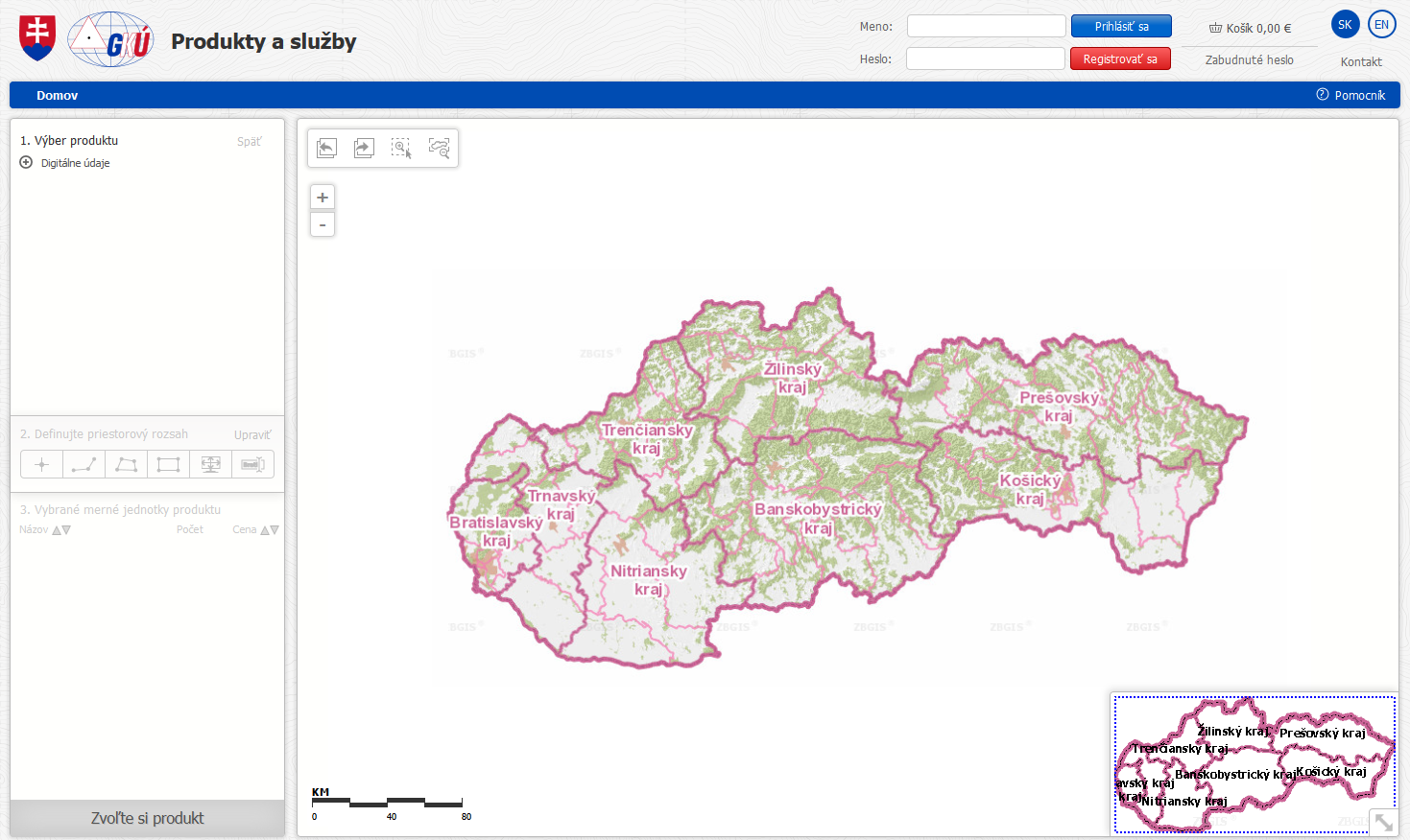
- Ordering control points data in electronic form (PDF format) is made via the Products and Portals Services: https://om.skgeodesy.sk
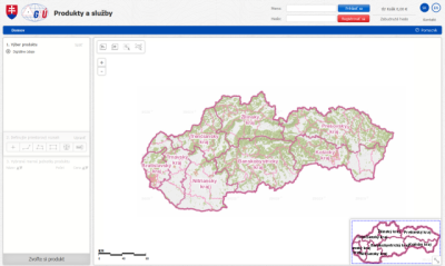
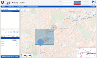
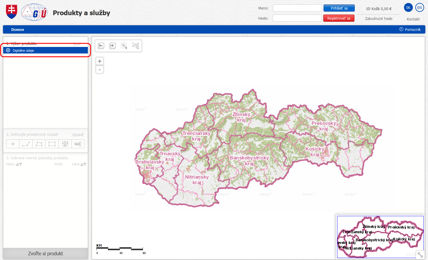
- Data selection: in the left panel select items successively as follows: Digital data -> Geodetic control -> Control points data -> Reference geodetic point.
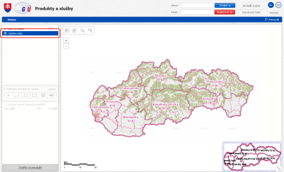
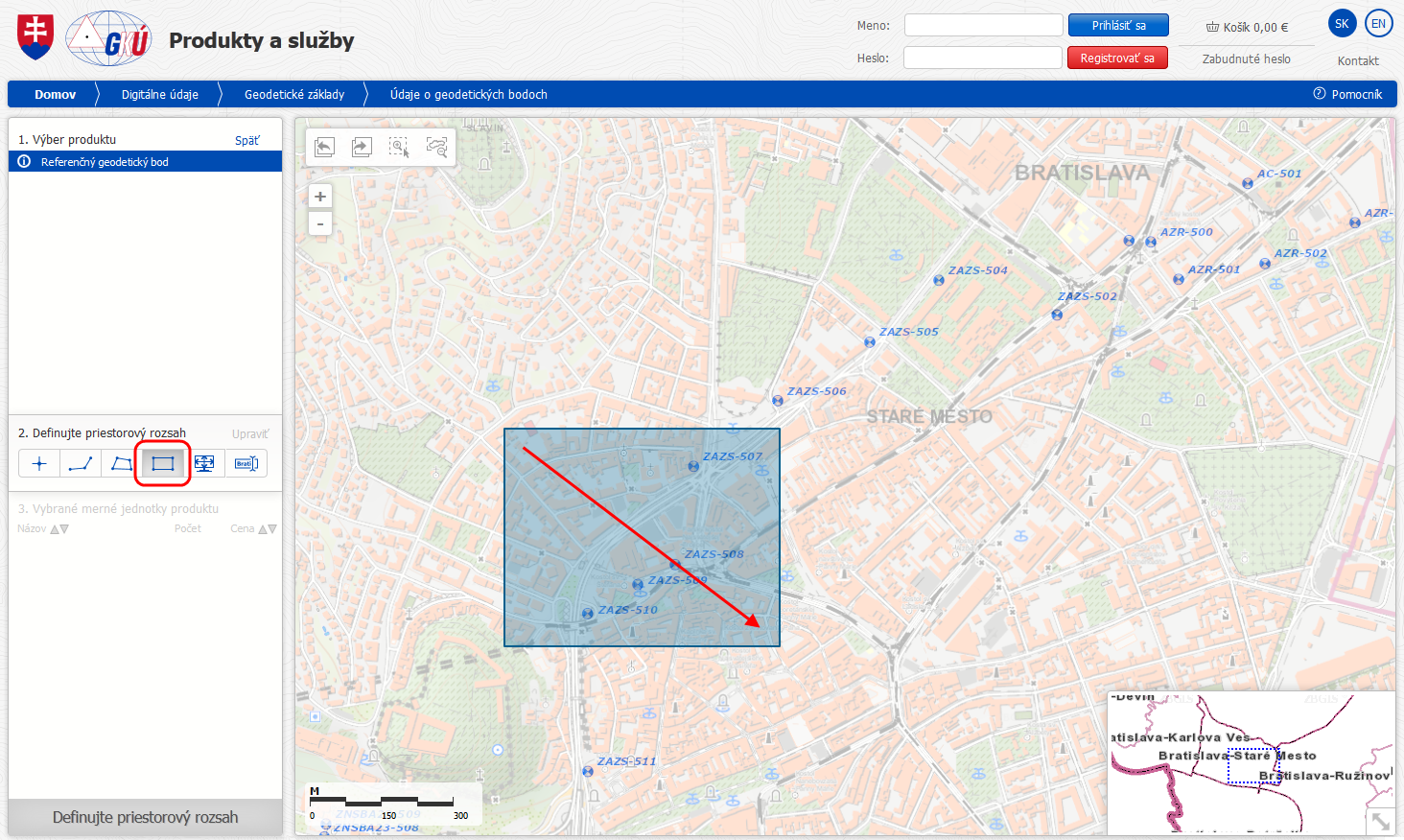
- For showing control points zoom in on the map.
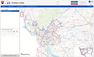
- Identification/selection of control points is carried out by tools in the left panel (Define spatial extent), we recommend to use the Rectangle selection tool. By clicking on the map and dragging the cursor a bounding box is created.
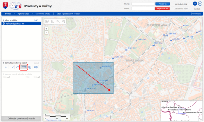
- After processing the points lying within the bounding box created will be shown in the bottom left panel. If we want to remove a certain point, we will click on the icon -.
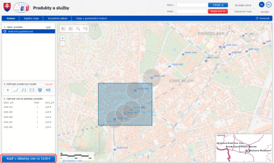
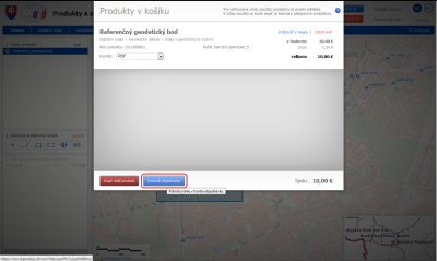
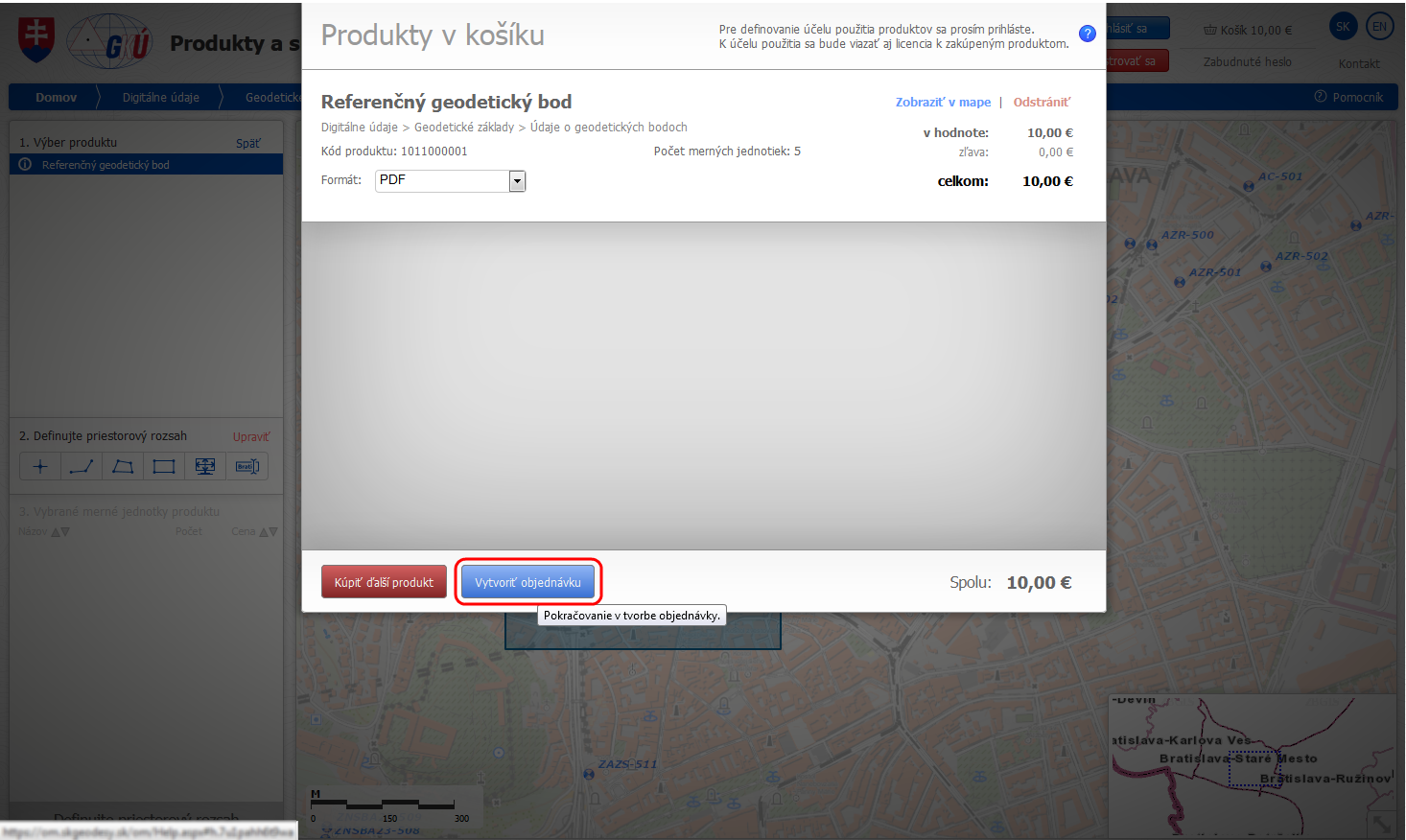
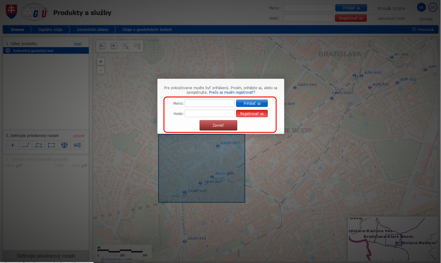
- For ordering click on Purchase for basic price, then click on Create an order.
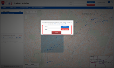
- The last step is signing in if we have an account created in business module or registering for creation of new account.


Updated: 03.01.2022