Digitization of maps
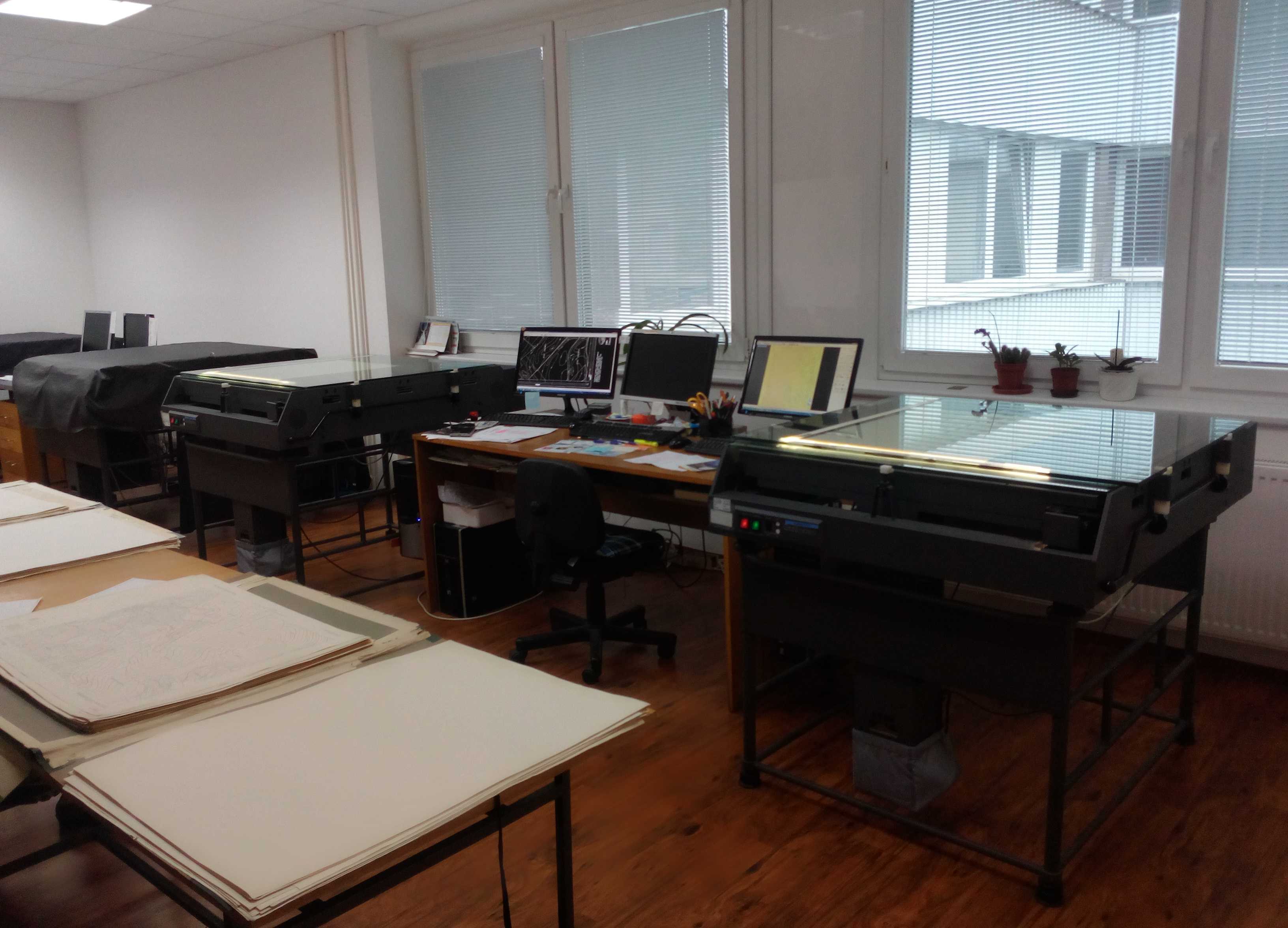
Since the time of the cadastre of real estate was established in the 17th century up to the present day a large amount of map series has been made. Map fund of the cadastre of real estate consists of map sheets created in various periods of time, map scales and in different technical qualities, which results in their decreasing physical quality. In order to preserve the content of the maps conversion is necessary from analogue to digital form using computer technology. Scanning is one of the technologies which make this conversion possible. At present time GKÚ Bratislava has at their disposal four one-camera large flatbed scanners with cartometric precision.
Scan workplace GKÚ Bratislava

Technical possibilities of the scan workplace make possible the digitization of maps in black-and-white (binary) or colour form in the TIF output format with 400 DPI resolution capability.
The goal of GKÚ Bratislava is complete digitization of cadastral maps filed in the documentation of the cadastral departments of district offices and in the Central Archive of Geodesy and Cartography and the description of raster data by means of metadata.
Black-and-white raster of the map of the determined documentation of the district documentation Nitra, cadastral district of Cabaj (illustration)
Colour raster of the map of determined documentation from the district documentation Nitra, cadastral district of Cabaj (illustration)
Updated: 21.09.2021
