1st production cycle 2017-2019
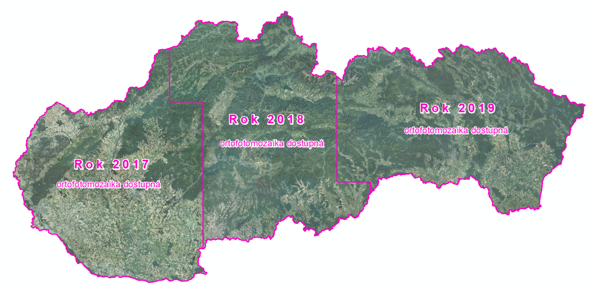
First Orthophotomosaic of the Slovak republic production cycle (2017 - 2019) was completed in 2020. Territory of Slovakia was divided into three parts – west, central and east (each one about 17,000 km2). Aerial photographs of western part were taken in 2017, the central part in 2018 and the eastern part in 2019.
Technical report: Orthophotomosaic of Slovak Republic 2017-2019 (Slovak only).
| Orthophotomosaic 1st cycle for download | |||||
|---|---|---|---|---|---|
| Western part 2017 (RGB) | ZIP (94 GB) | ||||
| Central part 2018 (RGB) | ZIP (86 GB) | ||||
| Eastern part 2019 (RGB) | ZIP (93 GB) | ||||
| Licence terms | |||||
Orthophotomosaic data shall be subject to the Terms and conditions of provision and use of Orthtophotomosaic.

Overview of airborne imageries, from which Orthophotomosaic of Slovakia 2017-2019 (1st cycle) was created, together with the exact date of their creation is available in ESRI Shapefile format for download HERE.
| Map sheet layout | |||
|---|---|---|---|
| 1 : 5000 | Esri GDB | Esri SHP | GeoPackage |
Parameters:
GSD (Ground Sampling Distance): 25 cm/pixel
Format: TIFF + TFW
Number of channels: 3 (RGB, 8-bit)
Coordinate reference system: S-JTSK(JTSK) - EPSG code:5514
Number of map sheets (MS) in 1:5000 scale: territory of western Slovakia = 3418 MS, territory of central Slovakia = 3435 MS, territory of eastern Slovakia = 3422 MS
Accuracy:
Root mean square error:
RMSExy = 0,30 m
CE95 (Circular error 95%):
CE95 = 1,7308 x RMSExy = 0,52 m
CE95 value defines the radius of a circle centred at the specified point on the orthophotomosaic within which the real horizontal position of the point is located with 95% probability. It represents the magnitude of an error which will not be exceeded in 95% of cases.
