Digital Cartography
Until 2010, the Geodetic and Cartographic Institute Bratislava (GKU) dealt mainly with the creation and maintenance of the State Map Series (SMS). In the past the processing of SMS was provided by:
-
- Since 1950 – Slovak Surveying and Cartographic Institute in Bratislava
- Since 1954 – Geodetic, Topographic and Cartographic Institute in Bratislava
- Since 1957 – Cartographic and Reproduction Institute in Modra - Harmonia
- Since 1968 – Cartography, national enterprise (n. p.), Bratislava
- Since 1970 – Slovak Cartography, n. p., Bratislava
- Since 1989 – Slovak Cartography, state enterprise (š. p.), Bratislava
- Since 1991 – Geodetic and Cartographic Institute Bratislava
The implementation of OPIS project began to address the issue of using digital cartography for creating the SMS and web services from ZBGIS® data.
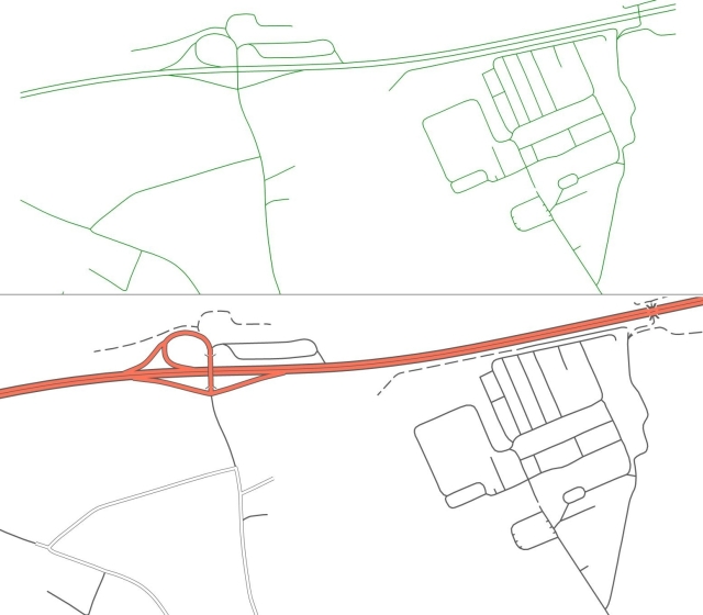
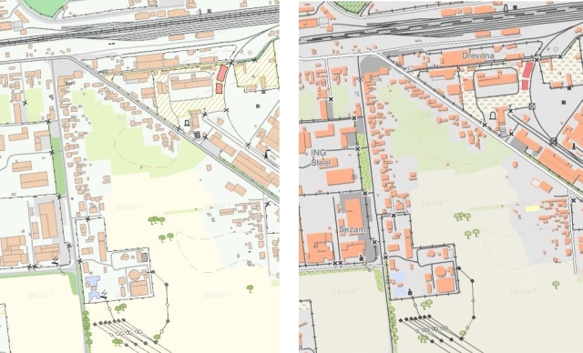
Digital Cartography is a process of displaying spatial data by using sophisticated tools to generate digital maps with readable content. The picture below shows the difference in the perception of spatial data representation of road network which has been cartographically processed.We work with two basic methods of cartography processing - simple cartographic expression of data and complex cartographic expression of data stored in a spatial database. The first method is used for map services, the second for the MAPKA.
simple cartographic expression of data complex cartographic expression of data
Updated: 14.06.2024


